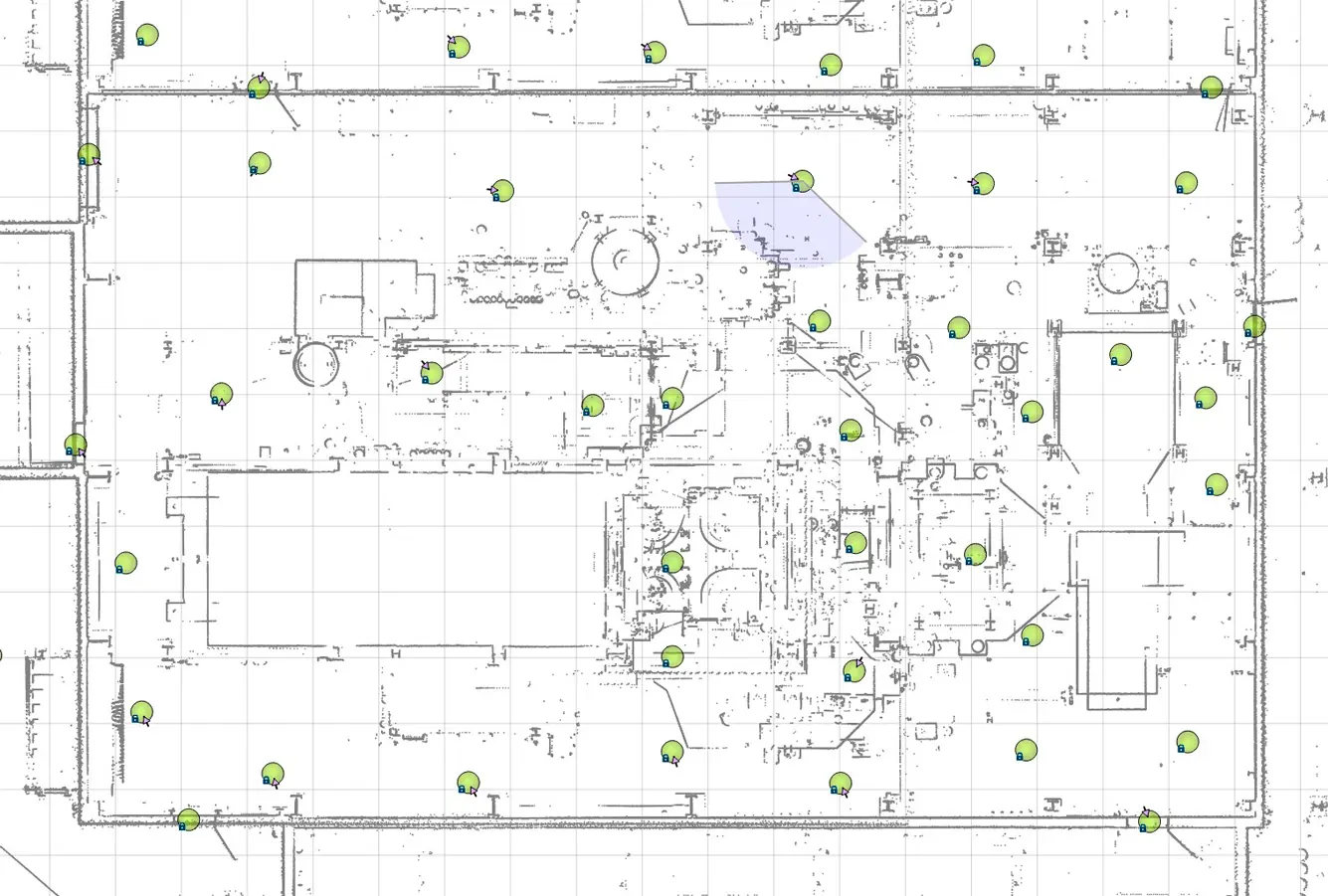
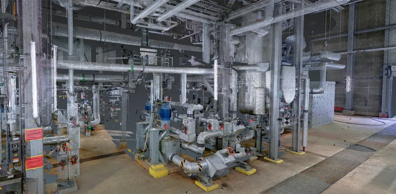
Surveying using 3D laser scanning offers numerous technical and organizational advantages, ranging from the reuse of data to create technical drawings (e.g., in AutoCAD Plant 3D) and the extraction of measurements from panoramic views, all the way to on-site acceptance (as-built verification). In addition, high-resolution panorama photos can be created to add color information to the point cloud.
Advantages of 3D laser scanning
Short downtimes in industrial facilities
Scanning of almost all surfaces with millimeter precision